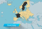
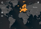
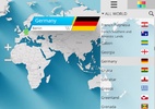
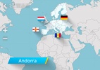
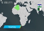
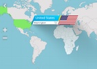
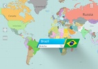
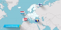
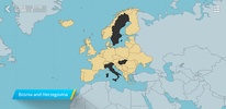
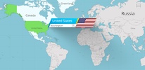
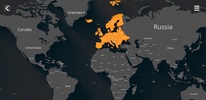
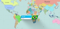
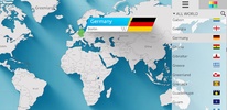
"Countries on the World Map" is an educational tool designed to enhance geographical knowledge. It effectively allows users to familiarize themselves with the location of over 250 countries, their respective flags, capitals, and continents, directly on a political map. The user-friendly interface includes customizable color themes that make learning engaging, delving deeper into the details of each nation, including its borders and geographical positioning.
Moreover, the software provides wiki links for extended reading and understanding, enabling users to engage with detailed information about each country. Whether one is a student, a traveler, or simply a geography enthusiast, it serves as a comprehensive guide to global geography, enriching the understanding of the world's political landscape.
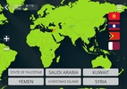
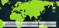
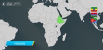
For individuals eager to challenge their knowledge, the platform includes a quiz mode where they can test their recall of country locations and capitals. Useful hints are provided to support learning and progress, making it an ideal choice for educators seeking interactive materials for their geography lessons. As such, the application not only serves as a study aid but also as an enjoyable means for anyone to explore the world map and its countries.
Requirements (Latest version)
- Android 4.4 or higher required
Comments
There are no opinions about Countries on the world map yet. Be the first! Comment